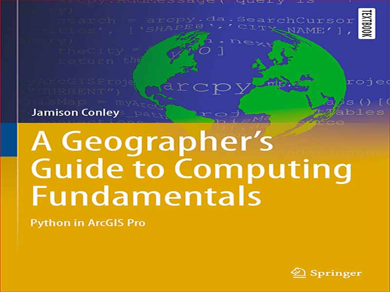
- عنوان کتاب: A Geographers Guide to Computing Fundamentals Python in ArcGIS Pro
- نویسنده: Jamison-Conley
- حوزه: نقشه برداری
- سال انتشار: 2022
- تعداد صفحه: 263
- زبان اصلی: انگلیسی
- نوع فایل: pdf
- حجم فایل: 13.5 مگابایت
مانند بسیاری از کتابهای درسی، این کتاب حاصل فعالیتهای کلاسی است که من طی چندین سال طراحی کردهام و تکرارهای تدریس یک دوره برنامهنویسی GIS. این از تمرینهای آزمایشگاه برنامهنویسی که من توسعه داده بودم رشد کرد، و تشخیص اینکه ادغام تمرینها با بقیه مطالب، بهجای تفکیک در بخشهای خودشان یا مطالب تکمیلی آنلاین، به دانشآموزان در درک چگونگی اصول علوم کامپیوتر کار می کنند و به آنها کمک می کند تا این اصول را به کار گیرند، به خصوص در هنگام تغییر از یک زبان برنامه نویسی به زبان دیگر.
مانند دانشآموزان کلاسهای من، تصور نمیکنم که شما، خواننده، سابقهای در زمینه علوم کامپیوتر یا تجربه برنامهنویسی داشته باشید. با این حال، فرض می کنم که شما با ArcGIS Pro بسیار آشنا هستید. اگر با ArcGIS Pro آشنا نیستید، منابع زیادی از ESRI و سایر منابع موجود است. ESRI مجموعه ای از آموزش های وب را از طریق http://www ارائه می دهد. esri.com/training/، که ممکن است راهی سریع برای افزایش سرعت ArcGIS Pro ارائه دهد.
در اینجا این است که من تصور می کنم شما ممکن است از این کتاب استفاده کنید. من آن را برای استفاده در دورهای که در مورد برنامهنویسی GIS تدریس میکنم توسعه دادم، اگرچه ممکن است از دیدگاه یک محقق یا متخصص که میخواهد از پایتون در کار GIS شما استفاده کند، به جای دیدگاه دانشآموز، به آن میرسی.
21 فصل در 4 بخش تنظیم شده است. قسمت اول با عنوان آشنایی با پایتون که دارای Chaps است. 1-6، به عنوان مقدمه ای بر اصول علوم کامپیوتر به طور کلی و پایتون به طور خاص عمل می کند. این بخش برای کسانی که تجربه برنامه نویسی کمی دارند یا اصلاً تجربه ندارند، یا به عبارت دیگر، کسانی که اصطلاحاتی مانند متغیر، دستور و تابع برایشان ناشناخته است، مهم است. بخش دوم از برنامه نویسی عمومی و پایتون به کاربرد برنامه نویسی در ArcGIS Pro می رود. این کار را از طریق لنز ساختارهای داده مانند رستر و بردار انجام می دهد. بخش سوم بر اساس ساختارهای داده است و سپس به ایجاد الگوریتمها و توسعه ابزارهای جدید در ArcGIS Pro برای پیادهسازی و استفاده از آن الگوریتمها میپردازد. در نهایت، قسمت IV این را گسترش میدهد و سپس به برنامههای پیچیدهتر که شامل چندین فایل پایتون هستند و توسعه بستههای Python برای استفاده از آنها در ArcGIS Pro میرود.
در یک محیط کلاسی، من از بخش I-III در یک دوره یک ترم سریع استفاده می کنم. با زمان بیشتر، من یک دنباله دو درس را پیشنهاد می کنم که با قسمت های اول و دوم در ترم اول و قسمت های سوم و چهارم در ترم دوم شروع شود. در یک محیط غیر کلاسی، من کسانی را که سابقه برنامه نویسی کمی دارند یا اصلاً سابقه برنامه نویسی ندارند تشویق می کنم که با قسمت اول شروع کنند، در حالی که کسانی که تجربه برنامه نویسی دارند و فقط می خواهند دانش موجود پایتون را در ArcGIS Pro اعمال کنند، می توانند به قسمت دوم و فراتر از آن بپرند. .
بیشتر فصلها به گونهای طراحی شدهاند که خوانندگان را تشویق کنند که هم اصول علوم کامپیوتر را که زیربنای برنامهنویسی در یک زمینه GIS هستند و هم کاربرد آن اصول را درک کنند. این از داشتن ساختار زیر ناشی می شود که تمرین های عملی را در متن فصل گنجانده است. آنها با سخنان آغازین شروع می شوند، که معمولاً یک یا چند مفهوم مرتبط با علم کامپیوتر را برای فصل مورد نظر معرفی می کنند. سپس یک سری وظایف هدایت شده وجود دارد که دانش آموز را از طریق مفاهیم معرفی شده در سخنان آغازین راهنمایی می کند. این وظایف همچنین در مورد اظهارات توضیح می دهند و جنبه های پیچیده تری از موضوع را در کنار نرم افزار درون وظیفه ارائه می دهند. وظایف هدایتشده دستورالعملهایی برای خوانندگان برای تکمیل در پایتون و ArcGIS Pro، و همچنین سؤالاتی دارد که درک آنها از مطالب ارائه شده را اندازهگیری و تقویت میکند. در یک زمینه آموزشی، اینها میتوانند سؤالاتی را برای فعالیتهای آزمایشگاه رایانه که موازی با کتاب هستند، فراهم کنند. در نهایت، فصل ها با یک کار هدایت نشده به پایان می رسند. این خوانندگان را به چالش میکشد تا مفاهیم و مهارتها را از مقدمه و وظایف هدایتشده در یک موقعیت جدید تقویت و به کار ببرند. این وظایف هدایتنشده همچنین دارای یک وظیفه اشکالزدایی اختصاصی هستند که در اکثر فصلهای بعد از فصل اشکالزدایی (فصل 6) به منظور توسعه و تقویت مهارتهای اشکالزدایی گنجانده شده است. من خواننده را تشویق میکنم همزمان با ادامه این فصل، وظایف هدایتشده را دنبال کند و برای رفع اشکال تمرینهای اشکالزدایی وقت بگذارد. اینها بر اساس رایجترین اشکالاتی است که دانشآموزان در طول 13 سال تدریس این مطالب به من ارائه کردهاند، بنابراین یادگیری تشخیص و رفع این اشکالها میتواند برای موفقیت شما به عنوان یک برنامهنویس بسیار مفید باشد. در نهایت، صرف زمان برای تکمیل وظایف هدایت نشده به تقویت کاربرد اصول در این فصل کمک می کند.
Like many textbooks, this book is an outgrowth of classroom activities that I have designed over several years and iterations of teaching a course on GIS programming. It grew out of programming lab exercises that I had developed, and the recognition that having the exercises integrated with the rest of the material, instead of separated into their own sections, or online supplemental material, greatly assists students’ understanding of how the computer science principles work and helps them apply those principles, especially when shifting from one programming language to another.
Like students in my classes, I am not assuming that you, the reader, have any background in computer science or programming experience. I am, though, assuming you are very familiar with ArcGIS Pro. If you are unfamiliar with ArcGIS Pro, there are many resources available from ESRI and other sources. ESRI offers a range of Web trainings through http://www. esri.com/training/, which may provide a quick way to get up to speed on ArcGIS Pro.
Here is how I envision you might use this book. I developed it for use in a course I teach on GIS programming, although you might be coming to it from the perspective of a researcher or professional who wants to employ Python in your GIS work, instead of the student perspective.
There are 21 chapters organized into 4 parts. Part I, titled Getting Acquainted with Python, which has Chaps. 1–6, serves as an introduction to computer science principles in general and Python in particular. This part is important for those with little or no programming experience, or in other words, those for whom terms like variable, statement, and function are unknown. Part II moves from general programming and Python to the application of programming within ArcGIS Pro. It does so through the lens of data structures, such as rasters and vectors. Part III builds upon data structures and then addresses the creation of algorithms and the development of new tools within ArcGIS Pro to implement and use those algorithms. Finally, Part IV expands upon this and then moves to more complex programs that involve multiple Python files, and the development of Python Packages to use these within ArcGIS Pro.
In a classroom setting, I use Parts I–III in a fast-paced single-semester course. With more time, I would suggest a two-course sequence starting with Parts I and II in the first semester and Parts III and IV in the second semester. In a non-classroom setting, I would encourage those who have little or no programming background to start with Part I, while those who have programming experience and only want to apply existing Python knowledge to ArcGIS Pro can jump into Part II and beyond.
Most chapters are structured to encourage readers to understand both the computer science principles that underly programming within a GIS context as well as the application of those principles. This comes from having the following structure, which embeds practical exercises within the text of the chapter. They begin with opening remarks, which usually introduce one or more relevant computer science concepts for the chapter in question. Then there is a series of guided tasks which take the student through the concepts introduced in the opening remarks. These tasks also elaborate on the remarks, presenting more complex aspects of the topic alongside the software within the task. The guided tasks have instructions for readers to complete within Python and ArcGIS Pro, as well as questions which gauge and reinforce their understanding of the material as it is presented. In an instructional context, these can provide the questions for computer lab activities that parallel the book. Lastly, the chapters conclude with an unguided task. This challenges the readers to reinforce and apply the concepts and skills from the introduction and the guided tasks to a new situation. These unguided tasks also have a dedicated debugging task included within most chapters following the chapter on debugging (Chap. 6) in order to develop and reinforce debugging skills. I encourage the reader to follow along with the guided tasks as you proceed through the chapter and take the time to debug the debugging exercises. These are based upon the most common bugs students have presented to me over the course of 13 years of teaching this material, so learning to recognize and fix these bugs can be very helpful to your success as a programmer. Lastly, taking the time to complete the unguided tasks will help reinforce the application of the principles within the chapter.
این کتاب را میتوانید از لینک زیر بصورت رایگان دانلود کنید:
Download: A Geographers Guide to Computing Fundamentals Python in ArcGIS Pro


نظرات کاربران