


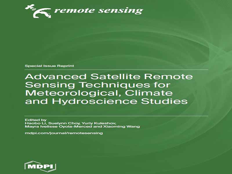
- عنوان کتاب: Advanced Satellite Remote Sensing Techniques for Meteorological, Climate and Hydroscience Studies
- نویسنده: Haobo Li
- حوزه: هواشناسی
- سال انتشار: 2025
- تعداد صفحه: 242
- زبان اصلی: انگلیسی
- نوع فایل: pdf
- حجم فایل: 13.6 مگابایت
تأثیر فزاینده تغییرات اقلیمی منجر به رویدادهای شدید آب و هوایی مکرر و شدید شده است که چالشهای مهمی را برای آمادگی در برابر بلایا، تابآوری اقلیمی و پایداری محیط زیست ایجاد میکند. درک و نظارت بر این فرآیندهای جوی نیازمند فناوریهای پیشرفته سنجش از دور است که قادر به ثبت دادههای چند منبعی با وضوح بالا باشند. این شماره ویژه، 11 مطالعه با کیفیت بالا را گردآوری کرده است که روشهای پیشرفته سنجش از دور را برای تشخیص آب و هوای شدید، تجزیه و تحلیل آب و هواشناسی و نظارت بر آب و هوا بررسی میکنند. تحقیقات ارائه شده در این چاپ مجدد، طیف متنوعی از موضوعات را پوشش میدهد، از جمله ارزیابی دادههای بارش مبتنی بر ماهواره تقریباً بلادرنگ، استفاده از سیستم ماهوارهای ناوبری جهانی (GNSS) برای اندازهگیری بخار آب جوی و نقش دمای مزوسفر و بخار آب در تشکیل ابرهای قطبی. چندین مطالعه نیز بر ادغام مجموعه دادههای سنجش از دور چند منبعی برای افزایش دقت بازیابی بارش و بهبود تشخیص رویدادهای شدید آب و هوایی تمرکز دارند. این مشارکتها، پتانسیل تکنیکهای پیشرفته سنجش از دور را در تقویت قابلیتهای پیشبینی و حمایت از پیشرفت تحقیقات آب و هوایی نشان میدهند. انگیزه تدوین این شماره ویژه، پر کردن شکاف بین نوآوری سنجش از دور جوی و کاربردهای عملی آن در هواشناسی، هیدرولوژی و علوم اقلیمی است. با ارائه مجموعهای از مطالعاتی که از مشاهدات ماهوارهای، مانند پارامترهای جوی GNSS، استفاده میکنند، هدف ما ارائه بینشهای ارزشمند به محققان، سیاستگذاران و سایر ذینفعان در زمینه استفاده از فناوریهای پیشرفته برای نظارت بر محیط زیست و کاهش بلایای طبیعی است. از همه نویسندگان همکار به خاطر فداکاریشان در انجام تحقیقات با کیفیت بالا و همچنین از داورانی که بازخورد سازندهشان در افزایش دقت علمی این مطالعات نقش داشته است، صمیمانه قدردانی میکنیم. از تیم تحریریه به خاطر حمایتشان در انتشار این شماره ویژه تشکر ویژه داریم. امیدواریم یافتههای ارائه شده در اینجا الهامبخش تحقیقات بیشتر و کمک به توسعه مداوم کاربردهای سنجش از دور ماهوارهای در علوم آب و هوا و اقلیم باشد.
The increasing impact of climate change has led to more frequent and intense severe weather events, posing significant challenges for disaster preparedness, climate resilience, and environmental sustainability. Understanding and monitoring these atmospheric processes require advanced remote sensing technologies which are capable of capturing high-resolution, multi-source data. This Special Issue brings together 11 high-quality studies that explore state-of-the-art remote sensing methodologies for severe weather detection, hydrometeorological analysis, and climate monitoring. The research presented in this reprint covers a diverse array of topics, including the evaluation of near-real-time satellite-based precipitation data, the use of Global Navigation Satellite System (GNSS) for atmospheric water vapor measurement, and the role of mesospheric temperature and water vapor in polar cloud formation. Several studies also focus on integrating multi-source remote sensing datasets to enhance precipitation retrieval accuracy and improve extreme weather event detection. These contributions demonstrate the potential of cutting-edge remote sensing techniques in strengthening forecasting capabilities and supporting the advancement of climate research. The motivation behind compiling this Special Issue is to bridge the gap between atmospheric remote sensing innovation and its practical applications in meteorology, hydrology, and climate science. By presenting a collection of studies that employ satellite observations, e.g., GNSS atmospheric parameters, we aim to provide researchers, policymakers, and other stakeholders with valuable insights into leveraging advanced technologies for environmental monitoring and disaster mitigation. We would like to extend our sincere appreciation to all contributing authors for their dedication to high-quality research, as well as to the reviewers whose constructive feedback has been instrumental in enhancing the scientific rigor of these studies. Special thanks go to the Editorial Team for their support in bringing this Special Issue to publication. It is our hope that the findings presented here will inspire further research and contribute to the ongoing development of satellite remote sensing applications in weather and climate sciences.
این کتاب را میتوانید از لینک زیر بصورت رایگان دانلود کنید:
Download: Advanced Satellite Remote Sensing Techniques for Meteorological, Climate and Hydroscience Studies


نظرات کاربران